Current Travel Information
Nepal’s autumn trekking season is underway, with most trails reopened, ongoing flood recovery, changing mountain weather, and vibrant festivals offering travellers unforgettable experiences across Nepal.
What is happening where
Reference points shown for orientation only — always confirm current road and route status with your operator before travelling.
Situation update
Latest Situation
Nepal Travel Update: Autumn Trails, Weather Watch and Festivals
23 October 2026 | NepalNOW
Autumn is in full swing in Nepal. Trekking routes are reopening, recovery work continues, and the country is celebrating one of its most colourful seasons.
There is encouraging news for travellers planning a Himalayan adventure.
Trekking routes: Most are now operational
According to the latest update from the Trekking Agencies’ Association of Nepal (TAAN), trekking routes across Nepal are largely operational again, with two exceptions: Tsum Valley and the Tamang Heritage Trail.
The Manaslu Circuit has also reopened through temporary diversions around sections damaged by the 11 October Budhi Gandaki flood.
This is significant progress, but reopening does not mean that every trail has returned to its previous condition.
Manaslu: Possible, but approach with caution
The Manaslu Circuit can now be trekked using temporary reroutes. However, some diversions involve steep, exposed terrain, scrambling over rocky sections and negotiating difficult passages.
These sections require additional time, experienced local guidance and a willingness to be a little adventurous.
Our advice: Manaslu is possible, but we recommend extreme caution. Trekkers uncomfortable with heights or prone to vertigo may not enjoy these diversions.
Work is continuing to repair damaged trails and establish more permanent access. Conditions should be checked locally before setting out.
Wonderful alternatives to Manaslu
For travellers who had planned around 14 days on the Manaslu Circuit, there are two particularly good alternatives:
- Annapurna Circuit with Tilicho Lake: A spectacular high-altitude journey combining mountain communities, dramatic landscapes, Tilicho Lake and the crossing of Thorong La.
- Langtang, Gosainkunda and Helambu: A beautiful traverse combining Himalayan landscapes, sacred alpine lakes, forests and culturally rich mountain villages.
Both offer rewarding journeys of comparable duration, though with very different characters.
And these are just two options. Nepal has an extraordinary range of trekking possibilities, especially for travellers who can be a little flexible with their time.
Weather Watch: A developing system in the Bay of Bengal
We are also monitoring a developing weather system over the Bay of Bengal.
Current indications suggest that this system could affect parts of India around 28–29 October, with possible effects extending into Nepal around 1 November.
Depending on its development and movement, Nepal could experience rainfall in some areas and snowfall at higher elevations.
This is a potential weather development, not a confirmed forecast of widespread disruption.
The system’s direction, timing and intensity may change over the coming days. We are monitoring developments and will share further information as forecasts become clearer.
A reminder about mountain microclimates
Even without a major weather system, mountain weather deserves respect.
Conditions can change rapidly between valleys, ridges and mountain passes. A clear morning in one location does not guarantee similar conditions a few kilometres away or later in the day.
Never underestimate Himalayan microclimates.
Follow updated forecasts, listen to experienced local guides, carry appropriate equipment and build flexibility into trekking plans. Sometimes the best decision is to wait, adjust a route or change plans altogether.
Autumn is here, and Nepal is celebrating!
The main celebrations of Dashain, Nepal’s biggest festival, are coming to a close. Families are returning from visits to relatives, and the country is preparing for another wonderful celebration.
In about two weeks, we welcome Tihar, the Festival of Lights.
This extraordinary festival celebrates our connections with the world around us.
Crows are honoured as messengers, dogs for their loyalty, cows for their significance in everyday life and the goddess Laxmi for prosperity. The celebrations also recognise the special bonds between brothers and sisters.
Homes are illuminated with oil lamps and colourful decorations, and communities come alive with music and celebration.
Tihar also brings Nepal Sambat New Year, celebrated by Nepal’s Newar community.
Nepal has more than nine New Year traditions celebrated by different communities throughout the year.
Perhaps that makes Nepal the perfect country for New Year’s resolutions. If the first one doesn’t work out, there’s always another New Year around the corner!
And the celebrations don’t stop there.
Following Tihar, the Terai celebrates Chhath, a beautiful festival honouring the Sun through offerings and rituals beside rivers and water bodies.
Meanwhile, Himalayan Buddhist communities celebrate Mani Rimdu, with sacred masked dances, prayers and ceremonies at monasteries, particularly in the Everest region.
It is a remarkable time to experience Nepal’s cultural diversity.
Nepal is moving forward
The recent floods have caused serious damage in specific mountain corridors, particularly in northern Gorkha and Rasuwa. They have not affected Nepal uniformly.
The response from communities, authorities, rescue teams and the tourism industry has been substantial. Trails and bridges are being repaired, access is being restored and recovery continues.
We are grateful for the solidarity and support received from around the world.
The reopening of trekking routes is an encouraging milestone. But responsible travel means recognising that some areas still need time, and that conditions in the mountains require constant attention.
Nepal’s autumn season is well underway. The mountains are magnificent, the festivals are unfolding, and there is so much to discover.
Travel with good information, remain flexible and respect the mountains.
Nepal is welcoming travellers, rebuilding what was damaged and moving forward.
NepalNOW — Helping travellers make informed decisions about Nepal.
Traveller questions
Does this affect my trip?
Is the whole of Nepal affected?
No. The flooding is concentrated along the Bhote Koshi–Trishuli river corridor.
Should I travel to Langtang, Rasuwagadhi or Gosaikunda?
No — these areas fall directly within the affected corridor and should be avoided for now.
Are Kathmandu, Pokhara, Everest, Annapurna and Chitwan affected?
No. Kathmandu, Pokhara, Everest, Annapurna and Chitwan are all outside the affected corridor and continue to operate normally.
Should I cancel my Nepal trip?
Not simply because of this disaster, if your itinerary does not pass through the affected corridor. Check your itinerary with your travel company.
Useful resources
Useful Resources
Verified information for travellers, organised by what you need.
Loading resources…
For foreign travellers
Foreign nationals: live status
Nepal Police keeps a separate count and a named case list, which does not always match this figure.
See the named rescued / missing list →Live figure from the community-run Rasuwa–Bhotekoshi Flood Bulletin, refreshed automatically. Figures change as search and rescue continues.
Looking for someone, or want to check who’s been rescued?
A community-run tracker maintains a live, searchable list of rescued, missing and reunited people from the Rasuwa–Bhotekoshi corridor. It is volunteer-maintained, not an official government source — please also confirm with the numbers below.
Unofficial, community-maintained data — always cross-check with NDRRMA, Nepal Police (100) or the Tourist Police (1144) before acting on it.Nepal today
Nepal Today
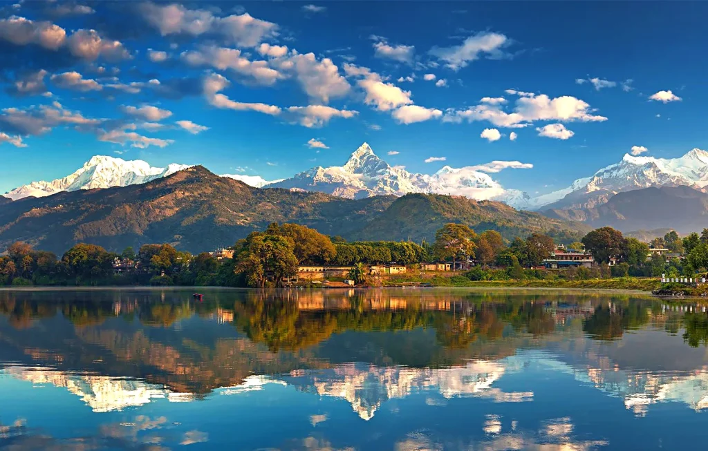
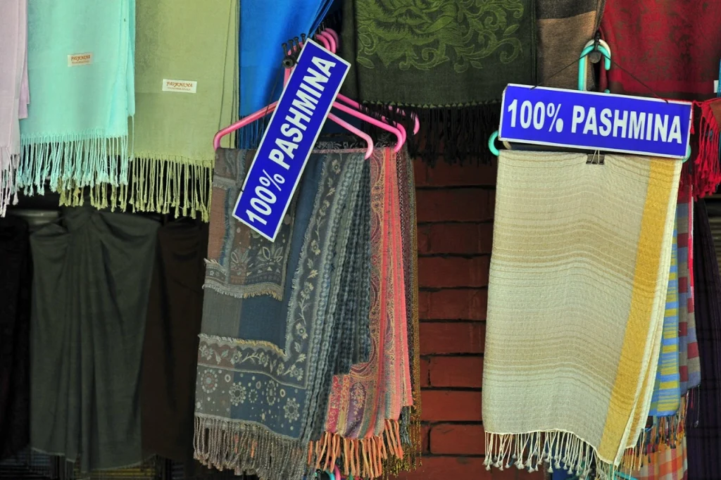
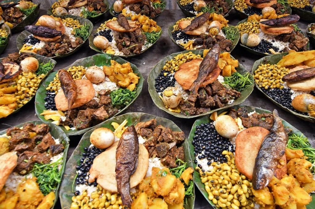
Life across the rest of Nepal, as it is today.
Follow along
Nepal Now on Instagram
Real-time photos and updates from our team on the ground.


Explore more of Nepal


